A Snapshot of Floodplain Management Across the Nation
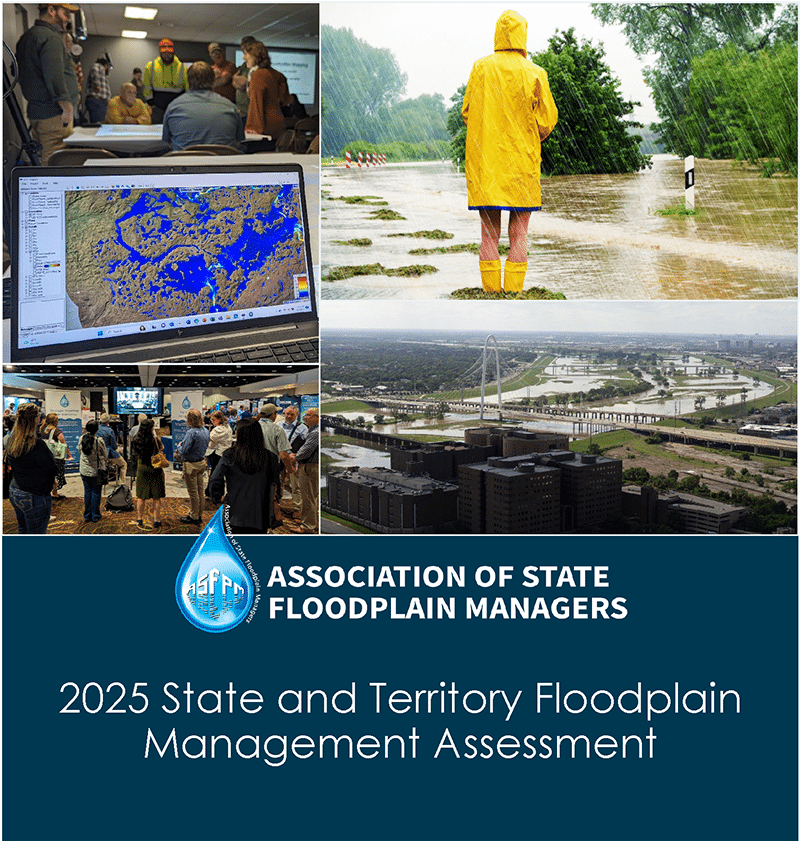
ASFPM has released its latest assessment of state and territory floodplain management programs across the nation. The 2025 State and Territory Floodplain Management Assessment builds on more than three decades of analyzing the capabilities and capacity of these programs and continues ASFPM’s commitment to define and promote the key components of effective floodplain management.
The 2025 report identifies current funding and staffing trends and highlights best practices for sound floodplain management. Together, these findings give states and territories a clearer picture of how their programs compare nationally and where opportunities exist to strengthen their floodplain management efforts.
2025 State and Territory FPM Assessment


See a list of all the projects we are currently working on or have completed.

Learn more about the Flood Science Center, our research interests, partnerships and staff.